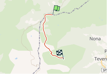

5.7 km | 13.5 km-effort

Tous les sentiers balisés d’Europe GUIDE+


FREE GPS app for hiking
 SityTrail
IGN / Geographical institutes
SityTrail World
The world is yours!
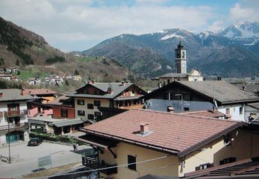
Trail On foot of 3 km to be discovered at Lombardy, Bergamo, Vilminore di Scalve. This trail is proposed by SityTrail - itinéraires balisés pédestres.
Partendo da Teveno (1134 m) in prossimità del campo sportivo, si sale lungo la ripida strada forestale che porta alla Malga bassa di Barbarossa (1704 m). Si continua ora per zone a pascolo in direzione ovest fino alla Malga alta di Barbarossa (1832 m) e di seguito, con percorso a mezzacosta, si arriva al passo della Manina (1796 m) dove si incrocia il sentiero delle Orobie 401.
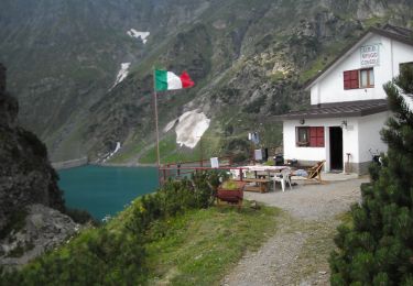
Website: http://geoportale.caibergamo.it/it/sentiero/407


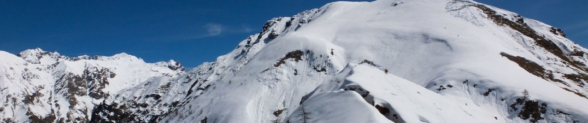
On foot
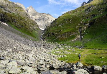
On foot
On foot